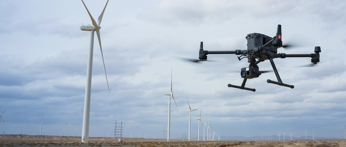
Inspect Intelligently with Drone Solutions
Manage Assets with Minimal Downtime
Unlock new insights and drive efficiency in your AEC projects with our Aerial Surveying and Drone Services. Our advanced drone technology offers precise aerial data collection, allowing for accurate mapping, surveying, and monitoring of construction sites, infrastructure projects, and architectural designs. From site planning and progress tracking to volumetric analysis and 3D modeling, our drones provide comprehensive solutions to streamline workflows and optimize project outcomes. Partner with us to leverage cutting-edge drone technology and gain a competitive edge in the AEC industry.
How are Drones Digitizing Inspections?

Reduced Risks
Enhance the effectiveness of your geographic data gathering and optimize data processing with drone-based solutions.

Reduced Costs
Reduce expenses on equipment and labor by automating the collection and analysis of data through drone and software solutions.

Standardized Deliverables
Acquire precise aerial data for generating industry-standard outputs such as DSM, DOM, and 3D models utilizing drone and software solutions.
Applications
Our comprehensive suite of professional services caters to a diverse clientele, ranging from commercial developers to industry.
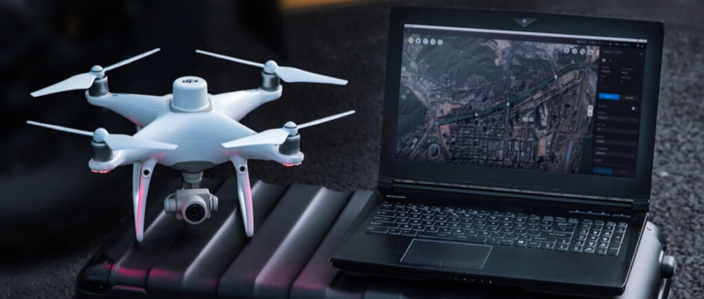
Land Surveying
- Drone solutions swiftly gather precise, geo-tagged data, while photogrammetry software processes this information to produce standardized outputs.
- Discover the ways drones revolutionize land surveying. →
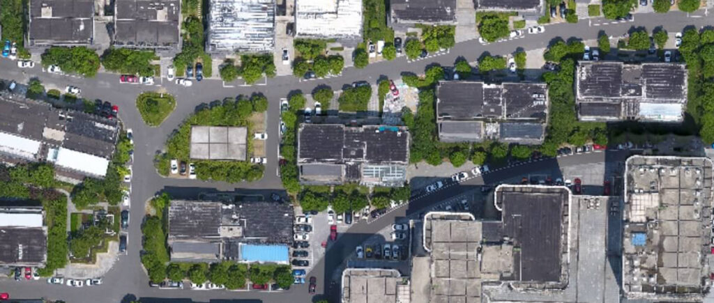
Urban Planning
- The data obtained from drones facilitates the creation of precise 2D and 3D models, seamlessly integrating with local geographic information systems, thereby aiding teams in visualizing results.
- Discover how drones optimize urban planning processes. →
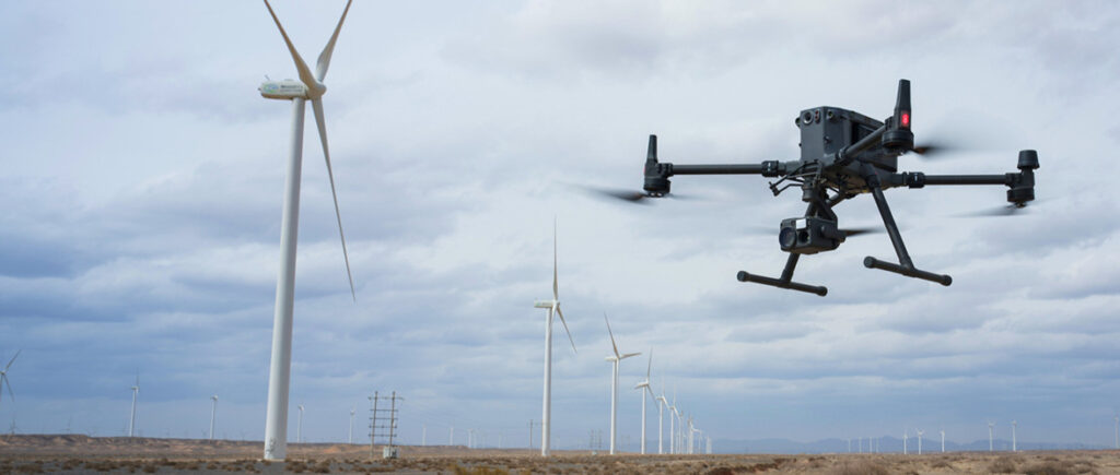
Architecture, Engineering, and Construction (AEC)
- Site surveys conducted with drones generate precise data that guide construction projects from inception to completion.
- Discover how drones streamline AEC (Architecture, Engineering, and Construction) projects. →
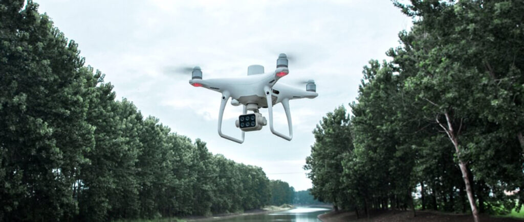
Natural Resources Management
- Drones facilitate extensive, detailed surveys of natural resources, offering precise maps, models, and telemetry data.
- Discover how drones enhance the management of natural resources. →
“Unlocking infinite heights: Your Gateway to Aerial Excellence with Osmo Drone Services”

Oscar Moreno
CEO, Osmo Drones

